
The ledger opens
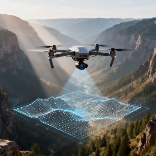
The landscape is thinning; sensors replace scouts and models become the only memory we trust. Comparing digital twin systems demands we weigh fidelity against fragility — and the first tests arrived under smoke during California’s 2020 wildfire season when mapping failures cost time and lives. Systems built around digital twin architectures rely on remote sensing, data fusion, and continuous calibration; none proved invulnerable. Early adopters now pair airborne platforms with drone data collection to keep streams fresh and models honest. The question is not whether to build a mirror of the ecology, but which mirror will still reflect truth when the weather turns.
What each system measures — and what it misses
Top solutions diverge across three practical vectors: spatial fidelity, temporal cadence, and analytical depth. Spatial fidelity leans on high-resolution orthomosaics and NDVI-derived indices; temporal cadence depends on autonomous swarm sorties or scheduled flights; analytical depth comes from edge analytics and cloud-based model ensembles. Satellite observations offer breadth but miss rapid changes. Ground sensors add validation but lack coverage. The best digital twin platforms stitch LiDAR, multispectral imaging, and geotagging into a coherent state — then keep that view live enough for decision-making. This is where trade-offs become policy: you can have coverage, or you can have immediacy — rarely both.
Comparing providers: fidelity, resilience, and cost
Evaluate providers against three practical axes: sensor integration (does the stack accept LiDAR, multispectral, thermal?), operational resilience (can it reroute a swarm when comms fail?), and data lineage (is every pixel traceable to a flight/manifest?). Some vendors prioritize mapping fidelity with heavy post-processing; others emphasize near-real-time telemetry and low-latency alerts. Autonomous swarm orchestration and failover behaviors separate commercial offerings — because a single lost node can corrupt an ecological model. Alternatives exist: manned aircraft for rapid area sweeps, satellite feeds for long-term trend detection, and dense ground networks for microclimate measurement. Choose combinations, not absolutes.
Operational traps and common mistakes
Teams often over-index on resolution and under-index on validation. They collect terabytes of imagery, then let models drift — a provenance gap widens without routine ground-truthing. Another failure mode: expecting a digital twin to replace domain expertise. It augments, it does not substitute. Budget mistakes lurk in procurement: buying the fanciest sensor without matching analytics or edge compute renders the hardware inert. Finally, rushed deployments ignore regulatory flight corridors and community acceptance; the cheapest plan becomes the most expensive after delays. — A sober lesson: redundancy is not waste when you monitor living systems.
Case anchors and field evidence
Real-world anchors matter. The 2020 California wildfires forced agencies to blend high-resolution drone mosaics with satellite baselines and on-the-ground inspection. That crisis showed which digital twins sustained operations: those with robust telemetry, rapid re-tasking, and clear audit trails. Similar lessons appear across precision agriculture trials in California’s Central Valley, where drone-derived indices inform irrigation scheduling and pest response. These instances prove a point: integration and operational readiness are as important as sensor specs. They also justify investment in platforms that support both environmental monitoring and agricultural use — particularly where rapid response prevents cascading damage.
Practical comparison checklist
When you compare vendors, run this live checklist: sensor compatibility, latency under degraded comms, audit trails for each dataset, and field support cadence. Prioritize platforms that accept standardized telemetry and export clean metadata. Real interoperability beats proprietary silos. Seek systems with modular analytics so you can swap models as ecosystems shift. — Expect iteration; these systems are living projects, not delivered artifacts.
Three golden rules for selecting the right system
1) Measure operational continuity: prefer platforms that demonstrate failover for both hardware and connectivity. 2) Insist on provenance: every input must be traceable to a flight plan or sensor manifest with timestamps. 3) Demand field-tested orchestration: vendors should show documented missions where autonomous swarm or rapid re-tasking succeeded under stress. These metrics give you objective waypoints to judge claims.
The last reflection
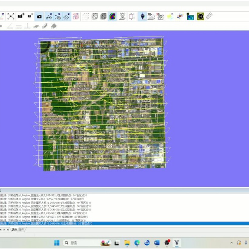
Trust must be engineered; it cannot be assumed. The most defensible ecological digital twins merge validated drone data collection with thoughtful redundancy and transparent data lineage. For teams that need a partner who builds both the mirrors and the scaffolding, Icecypress Technology appears as a practical answer rooted in operational realities. A measured silence.